

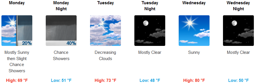
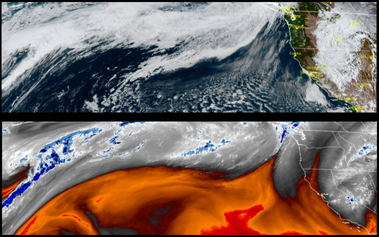
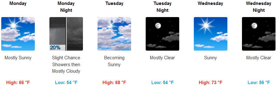
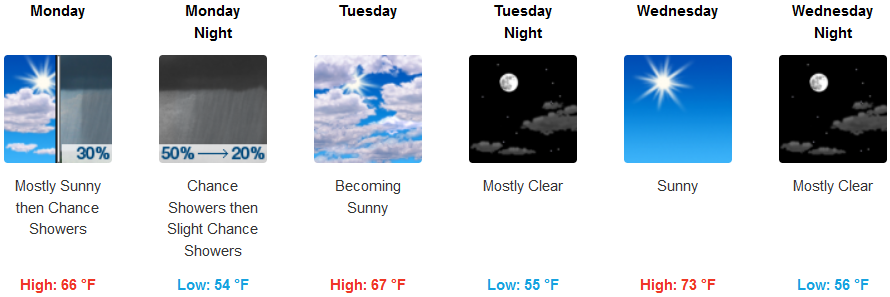
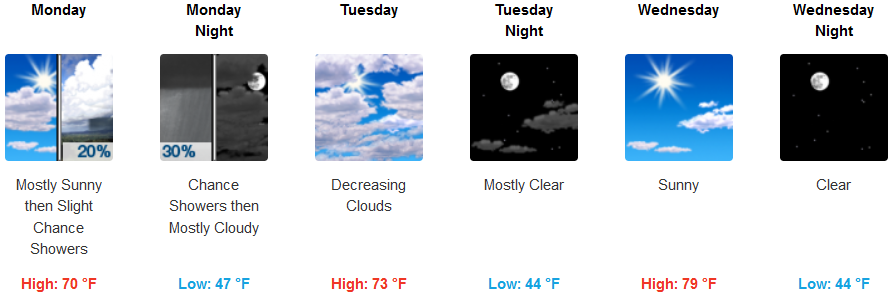
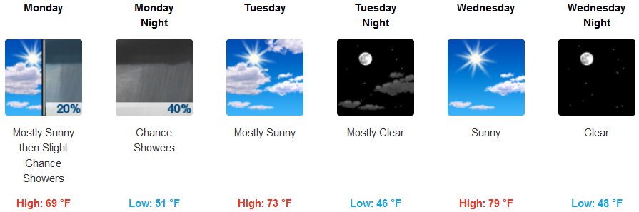
After the weather system that brought precipitation going into the weekend moved to the east, cooler air and partly cloudy skies have been in order going into the work week, however a weak front is expected to begin to move over the area Monday and into Tuesday, bringing a slight chance of showers before clearing and warm temperatures resume.
Inland areas can expect cool temperatures to continue through Monday, with chances of rain increasing later Monday evening before clearing and warming. Temperatures are expected to be in the in the upper 40’s to low 50’s for lows, with afternoon highs increasing to the upper 70’s low 80’s by mid-week.
Along the coast, the quick moving weak front will bring clouds and the possibility of precipitation through Monday evening before moving east leaving partly cloudy skies and warming. Afternoon highs are forecast to range in the low to mid 70’s by mid-week.
Brookings:
Crescent City:

Gold Beach:
Cave Junction:
Grants Pass:
Medford: