

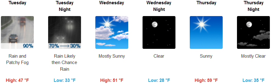
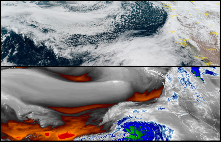
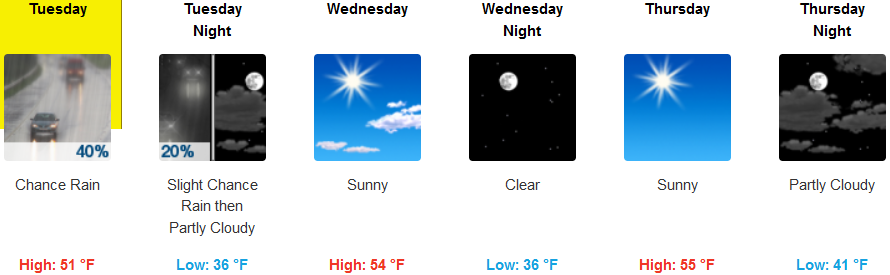
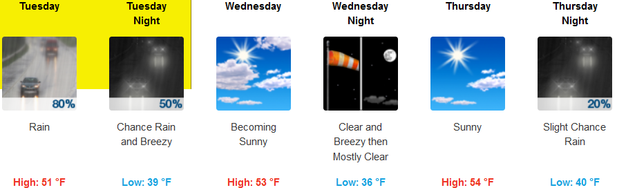
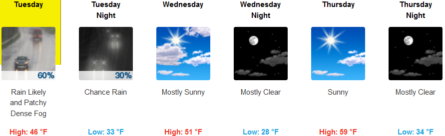
After a short break from precipitation overnight and into early Tuesday morning, another round of rain is forecast to impact the area beginning Tuesday and continuing into Wednesday before clearing and warming slightly mid week.
Inland areas can expect rain to pick up after mid morning Tuesday, with patchy dense localized fog in some areas. Skies are forecast to clear Wednesday, with warmer afternoon highs reaching the mid to upper 50’s by Thursday. With the clear skies come cooler early morning lows, though not as extreme as past weeks, cool temperatures will reach down to the low 30’s.
Along coastal areas, the National Weather Service has continued the Flood Watch Warnings along southern Oregon and northern California coastal areas through Tuesday. Clearing is forecast to begin Wednesday, continuing through the work week. Early morning low temperatures are expected to to be in the low to mid 30’s, with afternoon highs reaching the mid 50’s by Thursday.
Brookings:
Crescent City:
Gold Beach:
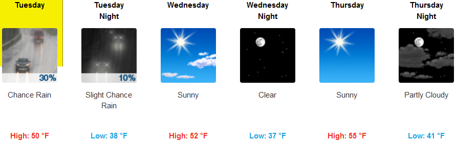
Cave Junction:
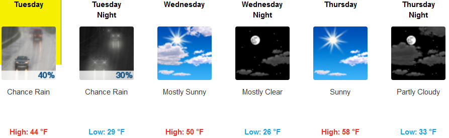
Grants Pass:
Medford: