

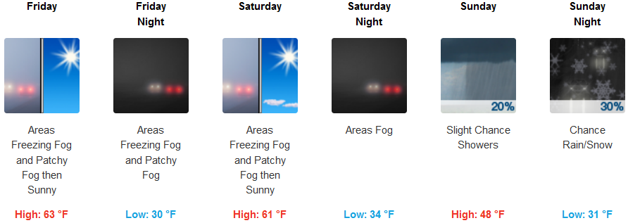
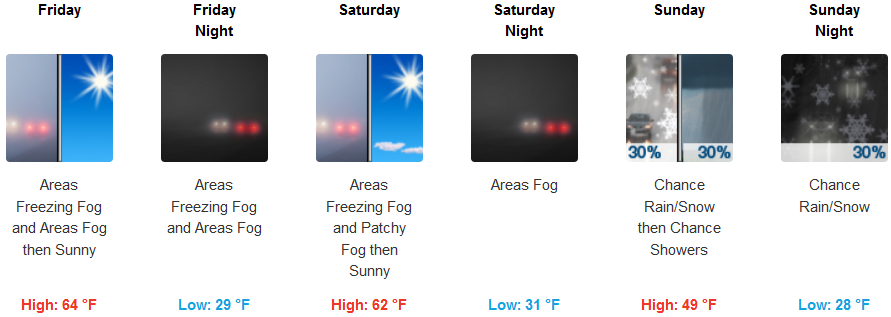
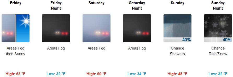
The dome of high pressure responsible for the recent dry spell that has stubbornly been circulating off the coast for the past two weeks, is now moving to the east over northern Oregon and Washington, however, high pressure will maintain warm afternoons and dry conditions through Saturday, with some morning fog and low clouds in localized valleys.
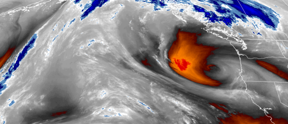
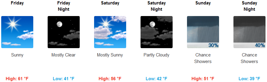
Beginning Sunday, a cold front will begin to move over the area, ushering in precipitation and lowering snow levels to 1500 feet possibly by late Sunday. Inland temperature will be very cold with early morning lows in the upper 20’s to low 30’s, and high temperatures dropping from the low 60’s to the mid 40’s as chances of precipitation increase late Sunday.
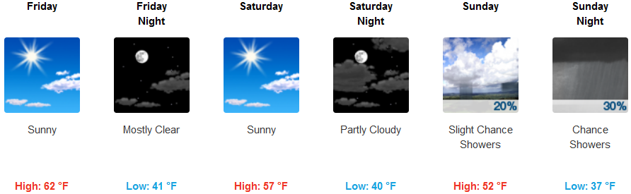
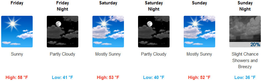
On the coast, the end of the work week will continue to see sunny, mostly clear skies as a cold front moves in starting late Saturday, and temperatures begin to drop from the low 60’s for high, to the low 50’s by late Sunday. A northwest wind is forecast to develop Saturday with gust possibly reaching 20 mph. High temperatures will only reach the upper 40’s by Sunday, with low temperatures hovering in the upper 30’s with a significant chance for precipitation Sunday evening.
Brookings:
Crescent City:
Gold Beach:
Cave Junction:
Grants Pass:
Medford: