


A major storm system will impact the region Wednesday into Thursday with damaging wind gusts, heavy rainfall, and possible flooding to burn scars and low lying parts of the region.
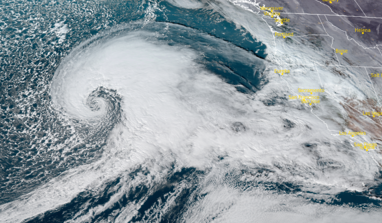
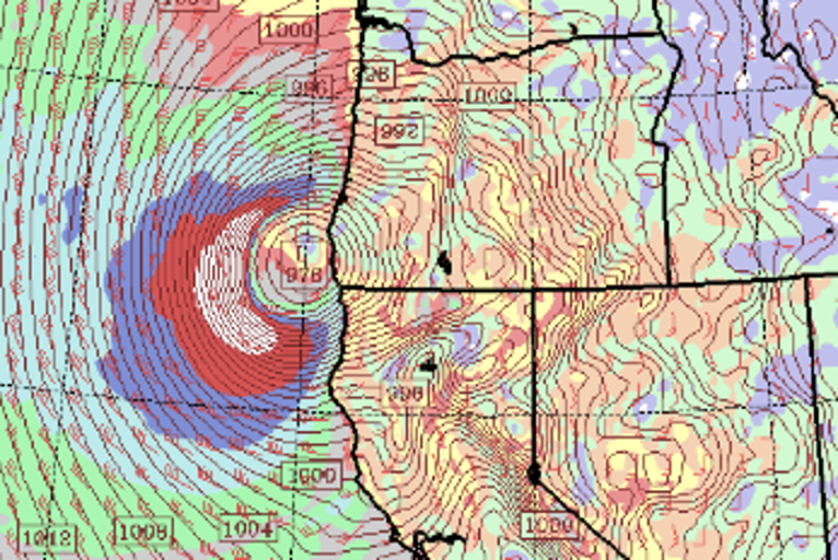
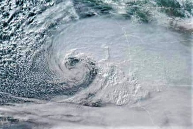
A strong low pressure system has developed off the western coast and is poised to bring high winds near the coast and inland, especially across higher peaks and beach areas exposed to the south.
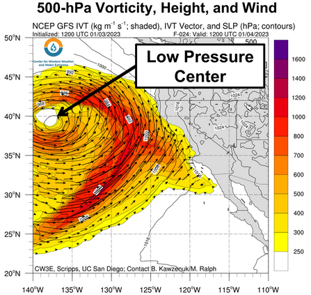
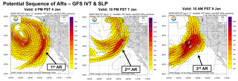
High Wind Warnings have been issued by the National Weather Service for much of the west coast from Washington to the southern border of California as the first of a series of three weather systems to strike the coast over the next 7 days makes landfall Wednesday, with the second in the series making landfall this weekend, and the final system pushing onshore Tuesday and Wednesday of next week.
Damaging winds Wednesday afternoon through Thursday afternoon are expected with wind gusts between 70 and 75 mph possible across the higher peaks.
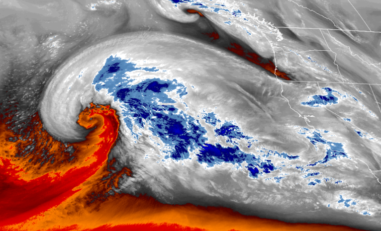
Heavy snow is forecast for most of the mountain passes with the snow level rising above 4500ft late Wednesday evening.
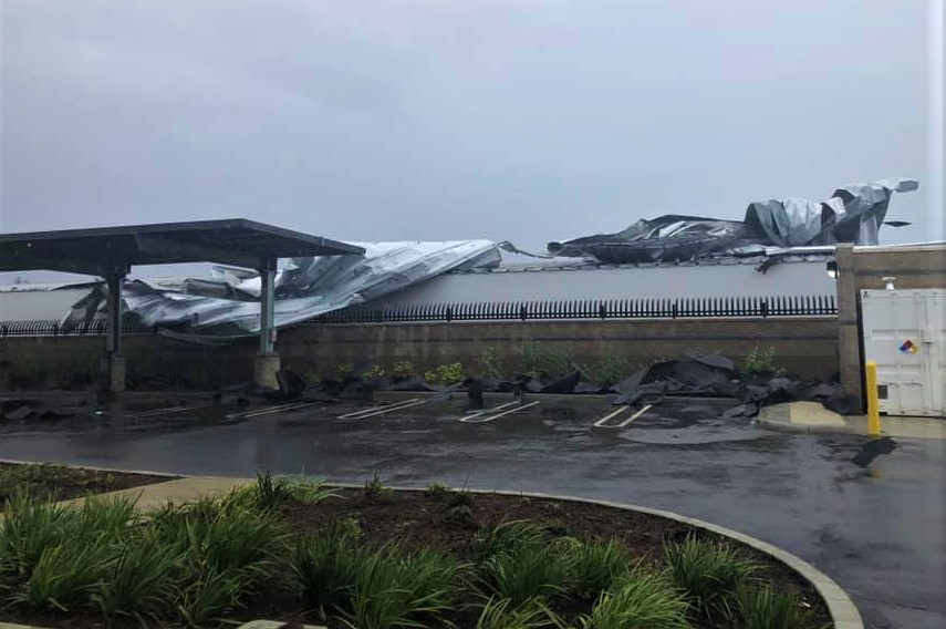
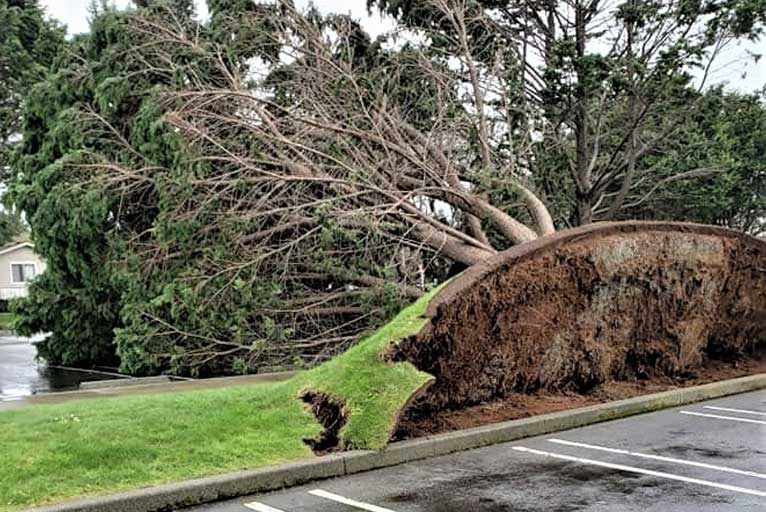
Recent rainfall has left the soil very saturated and heavy rains over several days combined with very strong sustained winds are expected, making it more likely that trees will fall, raising the potential for power outages.
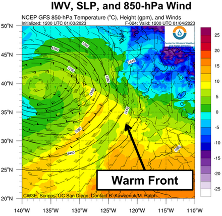
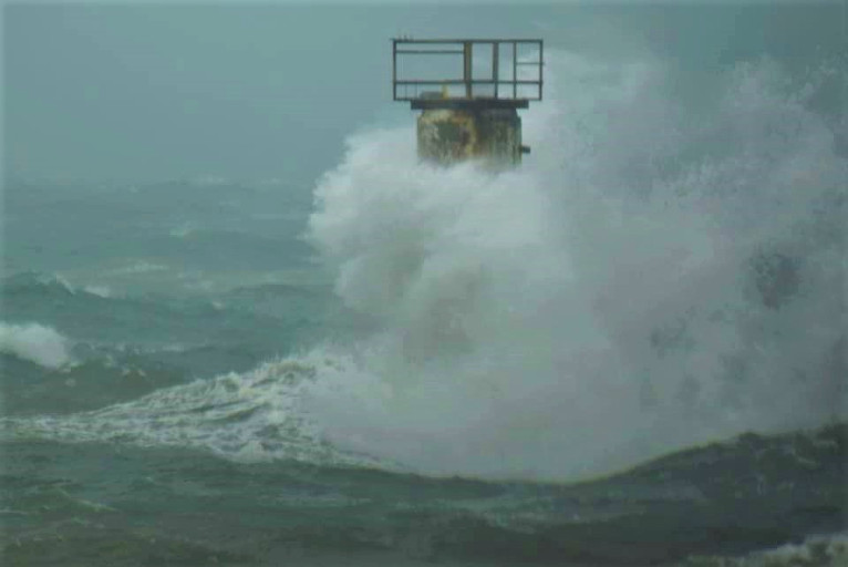
This strong low pressure system will generate storm force winds and large seas across the Pacific waters. Large dangerous surf conditions from 30 to 35 feet will subsequently develop for beaches Wednesday and into Thursday.
The last ‘Bomb Cyclone’ to hit northwestern California and southwestern Oregon coastlines was “Bomb Cyclone Ezekial” Tuesday, November 26th, 2019, and the brute power of Mothernature was on full display.
Areas up and down the coast and inland later in the day, sustained power outages, traffic problems, and property damage as the storm pushed onshore that Tuesday afternoon.
Inland, in Jackson County, Squaw Peak recorded 90 mph winds at 6:40pm during the 2019 sttorm. However, it was the maritime weather station at the U.S. Coast Guard Station at Cape Blanco Oregon that recorded a 106 mph windspeed at 2:00pm Tuesday afternoon with sustained winds of over 80 mph.
In Northern California, Crescent City peaked at 72 mph in 2019, according to National Weather Service reports and winds in Ferndale California hit 80 mph.
The precipitation related to the 2019 storm, just as forecast for this current storm, turned to snow and ice.
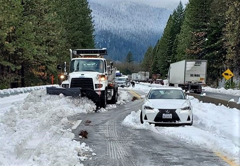
On the Siskiyou Summit south of Ashland Oregon, hundreds of people were stranded on I-5 for almost 24 hours after hundreds of vehicles spun out before Interestate 5 was closed near the border in both directions.