

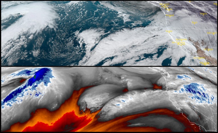
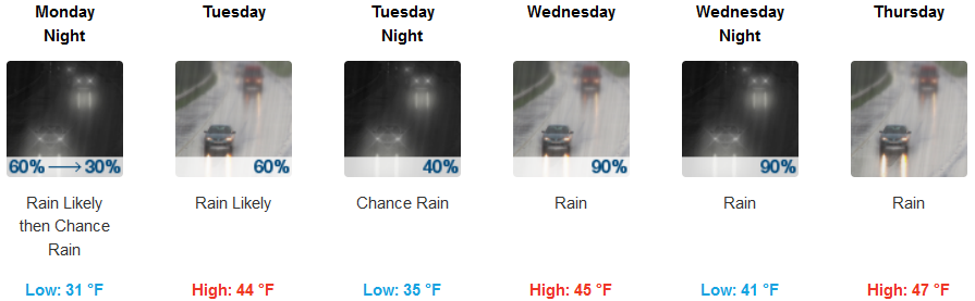
Another short break between weather systems will be short lived as another system makes it way into the area Monday and continue again through the work week. This system will be pushed slightly to the south as cold air presses in from the north, however, this system is not expected to be as strong as the previous front that brought high winds and heavy precipitation.
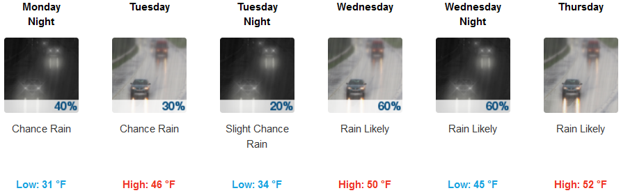
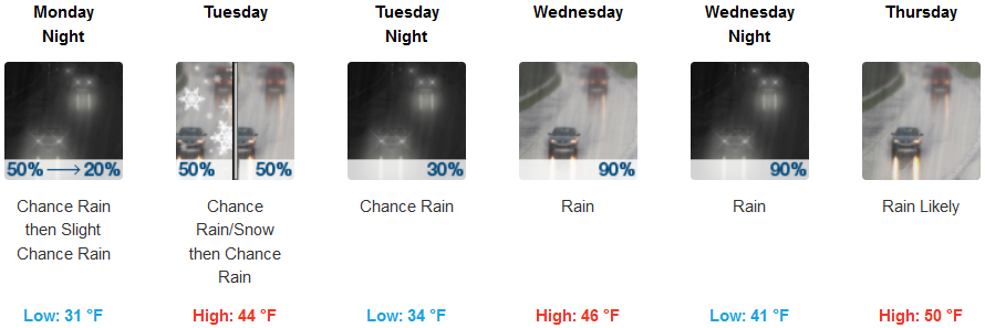
The ridge of cold air will keep temperatures cold initially this week, with precipitation beginning late morning or early afternoon Monday, with snow levels impacting higher elevation passes into Tuesday. Rain, though not as heavy, is forecast for the rest of the work week. Temperatures will begin to warm by mid week with lows starting in the low 30’s early in the week, rising to the low to mid 40’s by midweek.
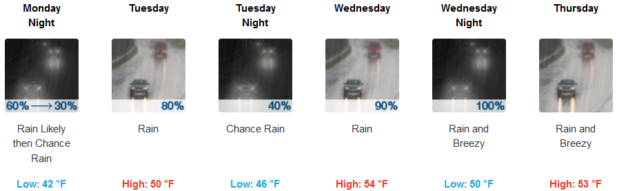
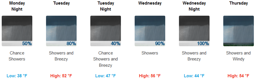
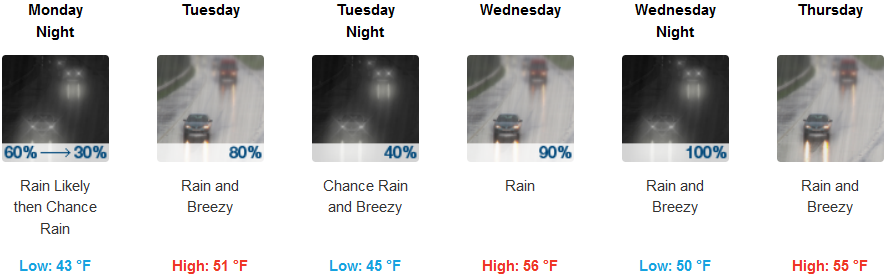
The coast should expect rain very early Monday morning as a strong low pressure system builds off the California coast. Some level of precipitation is expected everyday this week with heavier precipitation beginning late Wednesday and overnight. A south wind gusting to 30mph is forecast Wednesday, however rainfall amounts, though significant, are not expected to impact the region as the previous round of rain did. Temperatures will remain steady through the week with lows in the low to mid 40’s, and highs getting into the low 50’s.
Brookings:
Crescent City:
Gold Beach:
Cave Junction:
Grants Pass:
Medford: