

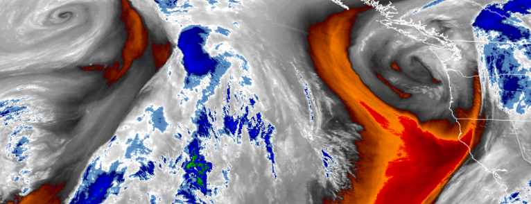
High pressure that has established itself over the region recently, has been pushing weather systems to the north and is forecast to be disrupted by a weak front on Wednesday and into Thursday before high pressure will build back in.
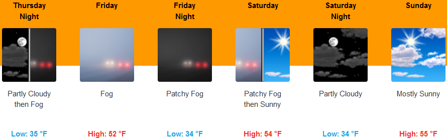
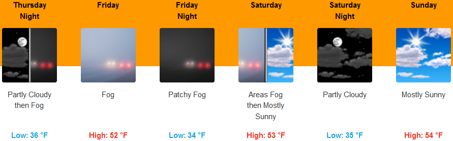
Areas inland will have a slight chance of rain Thursday morning, then a slight chance of showers into the afternoon, followed by partly cloudy skies and relatively mild temperatures. Localized fog and Air Stagnation Advisories will continue for much of southern Oregon. Early morning lows are forecast to be in the mid 30’s, with highs in the mid 50’s.
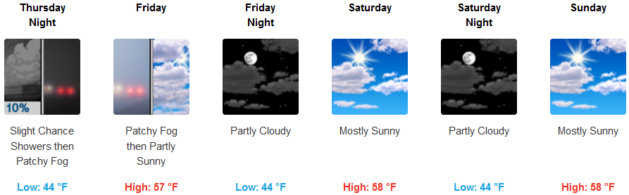
Coastal areas are expected see rain late Wednesday evening into Thursday morning, before high pressure pushes back into the area, leaving partly cloudy skies and areas of localized fog. Temperatures are forecast to be in the mid 40’s into the weekend, with highs in the upper 50’s.
Brookings:
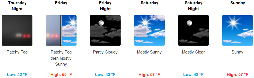
Crescent City:
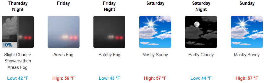
Gold Beach:
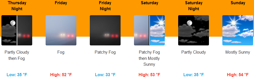
Cave Junction:
Grants Pass:
Medford: