

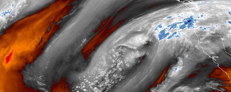
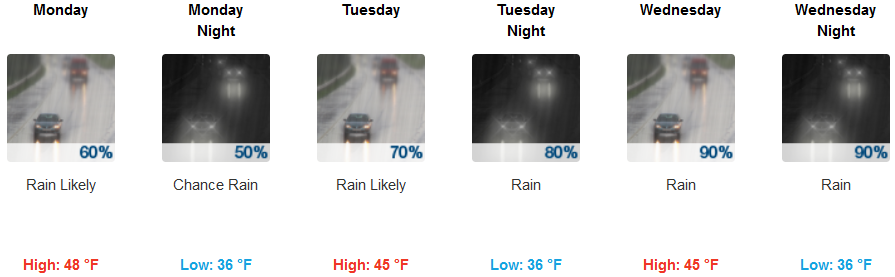
Rainfall is forecast to continue Monday with some high mountain snow generally to the northern areas easing as the day progresses. Beginning Tuesday, a fast moving system will move quickly through the area, bringing snow levels down to possibly 3500 ft. with a chance for some snowfall mainly in Northern California and elevations around Mt Shasta City on I-5 or just above. However, the front that passes Tuesday is the beginning of stronger, colder, and wetter systems that are expected push through the area later in the week, possibly bringing a very cold air mass into the forecast area by the weekend with snow levels down to 1000 to 2000 feet.
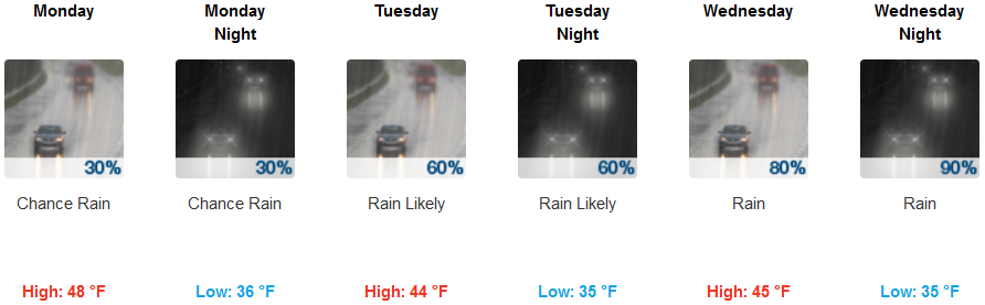
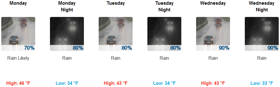
Inland, early in the week, chances of precipitation will continue increasing in probability and amounts as the week progresses. Beginning Tuesday, rain is likely increasing later in the day with a light southeast wind increasing up to 13 mph in the afternoon. continuing into Wednesday bringing snow levels down below 3000 ft. in some areas. Temperatures are expected to remain relatively cool through out the week, with lows in the low 40’s early in the week dropping to the mid 30’s into Wednesday. Highs will start in the upper 40’s, only reaching the low 40’s by the weeks end.
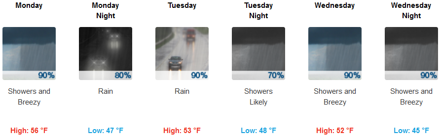
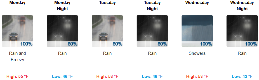
Along coastal areas, rain is forecast through out the week, with periods of moderate rain likely and rain amounts increasing as the week progresses. Early in the week a slight southwest wind is expected with gust to 20 mph possible. Wednesday, a cold front pushing on shore will bring the possibility of thunderstorms early in the day with moderate rain. Temperatures are forecast to remain relatively mild ranging from the upper 30’s later in the week, to highs near 50 early in the week in some areas, cooling to the upper 40’s later in the week.
Brookings:
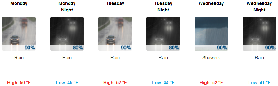
Crescent City:
Gold Beach:
Cave Junction:
Grants Pass:
Medford: