

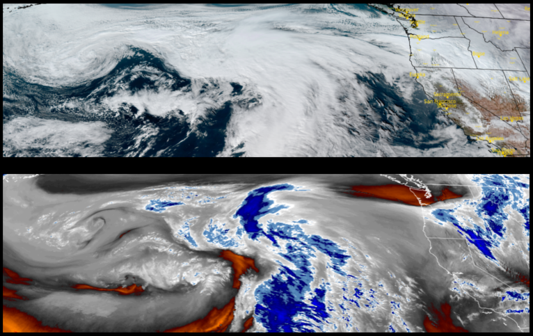
A break between weather systems is forecast to bring a brief break before more rain moves into the area. Local rivers were swollen with run-off prompting Flood Warnings up and down the coast with the Coquille River cresting at just under 24ft., Tuesday, and forecast to crest again Thursday afternoon at just over 22ft., staying at flood stage through Saturday. Another system is expected to bring moderate rain, heavy in some areas, to southern Oregon and northern California with precipitation likely through the weekend.
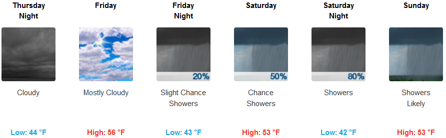
Inland areas are forecast to see rain Thursday morning before slowing Thursday afternoon before the next round of rain moves in Friday, continuing through the weekend. Rain is expected to be steady, however, rainfall rates are not expected to be as intense as the last systems to pass through the region. Temperatures will remain cool with lows in the mid 40’s and highs reaching the mid 50’s.
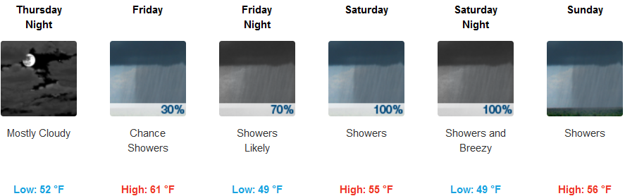
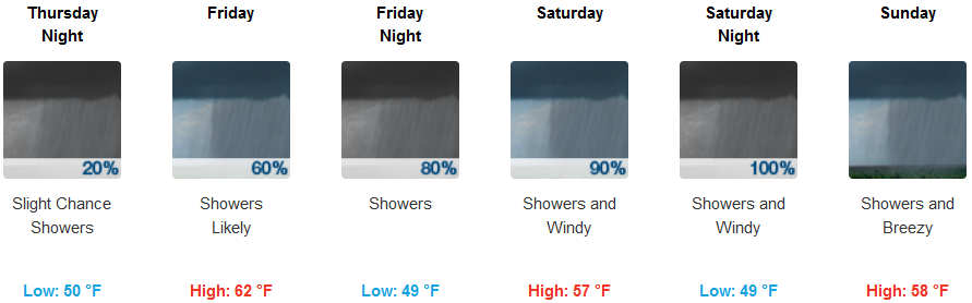
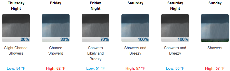
Along coastal areas, moderate precipitation is forecast to start Friday after a brief break Thursday with accumulations reaching 3 – 5 inches over a 72 hour period. Temperatures will be relatively warm comparatively to the last systems to pass through with lows in the upper 40’s, and highs in the mid 50’s to low 60’s consistently through the weekend.
Brookings:
Crescent City:
Gold Beach:
Cave Junction:
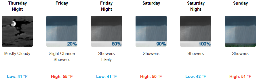
Grants Pass:
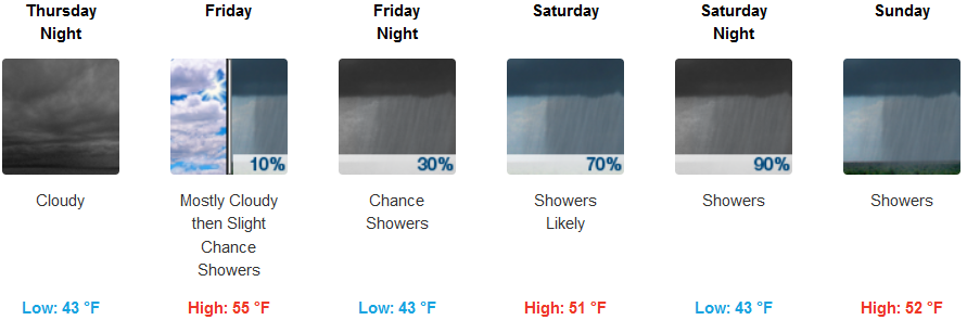
Medford: