


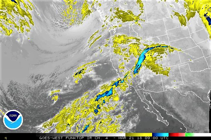
The US National Weather Service has issued a “Flood Potential Outlook” for rapid rises on rivers and streams in Curry County Oregon between Tuesday, March 20th, and Friday, March 24th as the jet stream position will direct steady rainfall to the Chetco Bar burn scar area starting Wednesday morning.
A ‘flood potential outlook’ is not a warning or an alert, it is issued when there is the potential for significant rises or flooding along rivers and streams. Watches and warnings may be issued by the National Weather Service if the situation worsens.
Heavy rain is expected to bring a potential for debris flow in the Chetco Bar burn scar. Take caution if in or downstream of the burn scar.
Landslides and debris flows are possible during ANY flood event. People, structures, and roads located below steep slopes, in canyons and near the mouths of canyons may be at serious risk from rapidly moving landslides.
Collecting of water over roadways and debris flows will be possible and authorities ask if you come across a flooded roadway, find an alternate route.
A trailing cold front will bring snow levels down to 1600 to 2000 feet, bringing snow above those levels Thursday night through Saturday.
Please Like, Share and Follow the …
![]()