

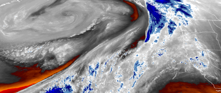
Another system is forecast to move into the Pacific Northwest
producing another round of widespread precipitation,
including potentially locally heavy amounts as it moves across the region on Tuesday.
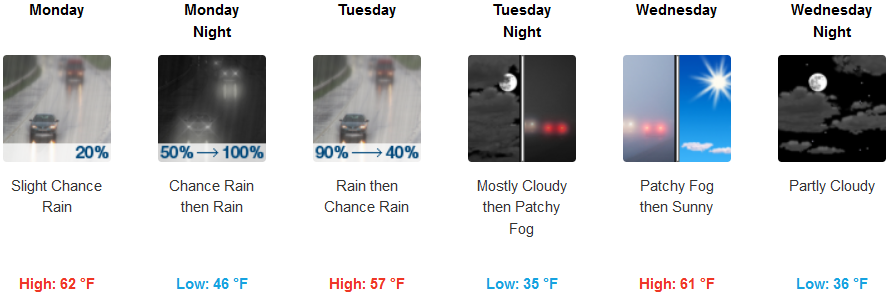
To start the work week, inland areas are forecast to see a 30 percent chance of rain, mainly after noon, with warm temperatures raising the snow level from 4000 feet, to 8500 feet in the afternoon and changing to rain Monday night continuing into early Wednesday morning. Temperatures will be much warmer with lows only in the mid 40’s early in the work week, cooling to the upper 30’s for lows by midweek, with highs in the low 60’s.
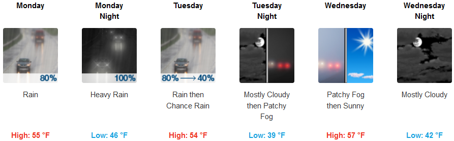
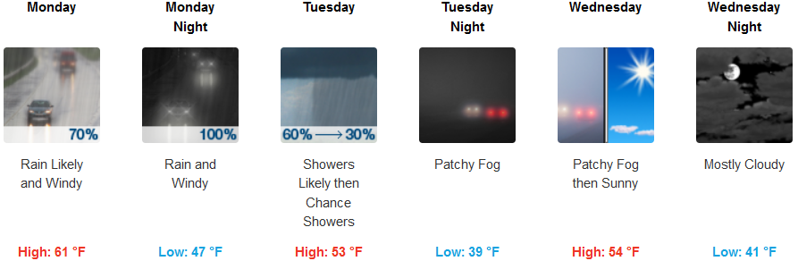
Along the coast, chances of showers increase into early Monday morning, changing to rain before noon, and continuing through Tuesday. Tuesday morning will include localized patchy fog conditions as the warm system that started Monday, gives way to cooler air pushing onshore. High temperatures are expected to be in the mid 50’s, with lows in the mid 40’s.
Brookings:
Crescent City:
Gold Beach:
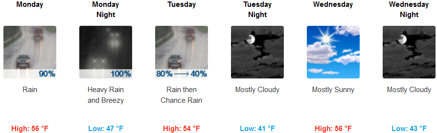
Cave Junction:
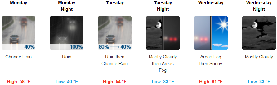
Grants Pass:
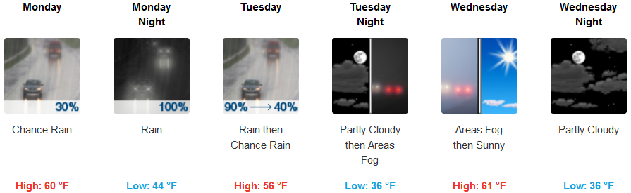
Medford: