


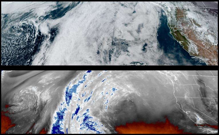
Spring has sprung, at least through the weekend. An upper level trough of high pressure is establishing itself off the coast and after pushing on shore is forecast to slowly push the unstable air to the east, leaving behind sunny skies and warmer temperatures through the weekend.
Areas inland are forecast to see clear skies through the weekend with large temperature swings from morning and into the afternoon. Cold mornings will see morning lows in the mid 30’s with afternoon highs reaching almost 40 degrees warmer hitting the upper 70’s as the week progresses.
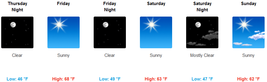
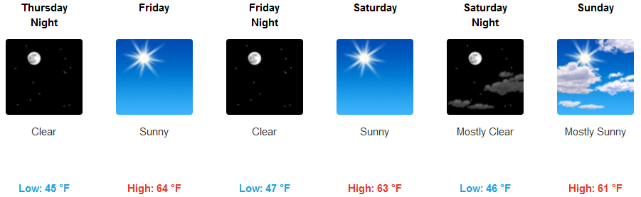
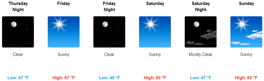
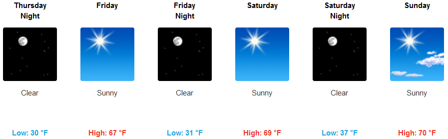
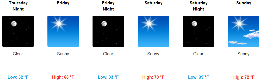
Along the coast, dry weather is expected through the rest of the week and through the weekend as high pressure moves on shore. Morning lows will be warmer than those inland only getting as low as the low 40’s, with afternoon highs reaching the upper 60’s to low 70’s as the week progresses.
Brookings:
Crescent City:
Gold Beach:
Cave Junction:
Grants Pass:
Medford:
