

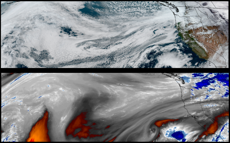
After enjoying a few days of what seems to be a Spring tease, a change back to a wet weather pattern is forecast with the first weather system moving into the area Monday prompting Winter Storm Warnings from the National Weather Service to start an active weather week for southern Oregon and northern California.
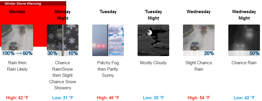
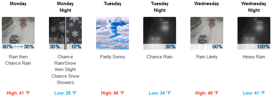
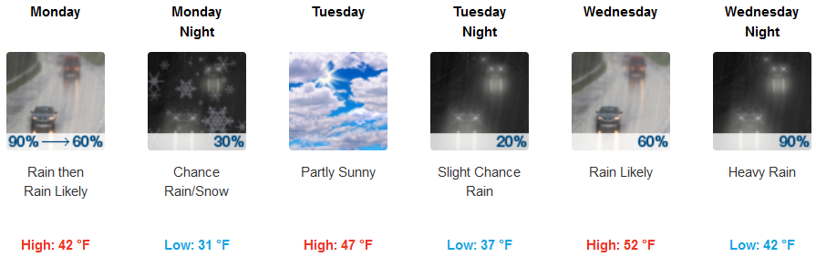
Inland areas are forecast to see a dramatic shift in temperatures Monday and into Tuesday with precipitation starting very early Monday morning with the probability of snow reaching the valley floors late Monday before a brief break Tuesday and another system moves in mid week. Low temperatures are expected to drop almost ten degrees from Sunday’s low temperatures with lows in the upper 20’s to low 30’s.
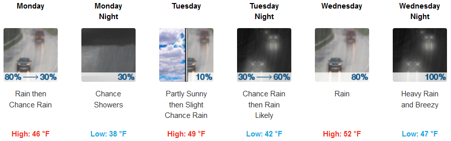
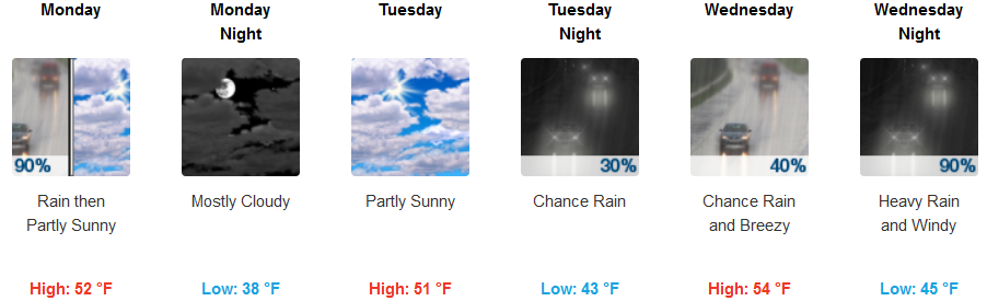
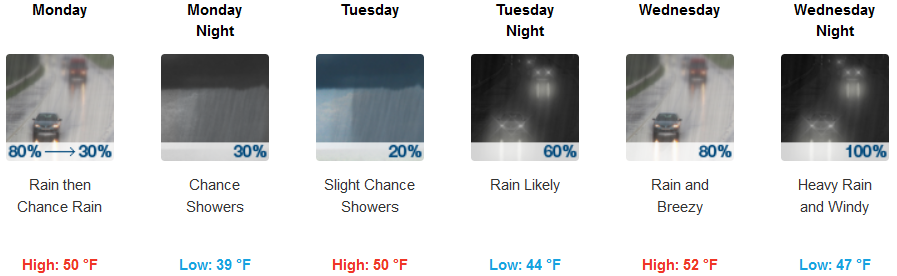
Along the coast, rain is expected to begin very early Monday morning, continuing through Monday evening with a brief break Tuesday with partly cloudy skies as the next system moves in Wednesday. Temperatures along the coast are expected to be cooler early in the week before the next warmer system moves in, with lows in the low 40’s and highs reaching the low 50’s.
Brookings:
Crescent City:
Gold Beach:
Cave Junction:
Grants Pass:
Medford: