

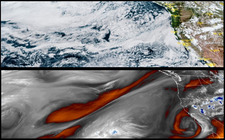
The persistent trough that had been stubbornly stalled and circulating off the Oregon/Washington coast for the past weeks, has slipped south to just off the southern California coast, and is forecast to continue affecting the area during the week, as it circulates unstable air as far north as central Oregon.
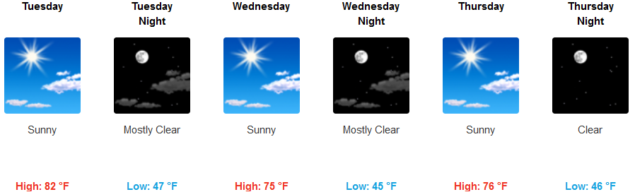
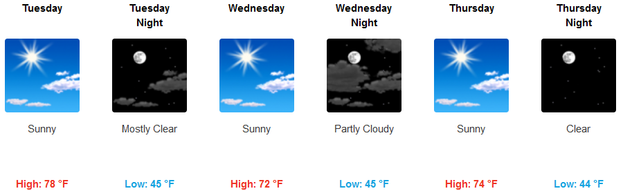
Inland areas could see thunderstorms and localized downpours possibly reaching as far west as Happy Camp according to the National Weather Service. Otherwise, mostly clear, sunny skies are expected for the work week, Afternoon highs are forecast to be in the upper 70’s to low 80’s with lows only in the upper 40’s.
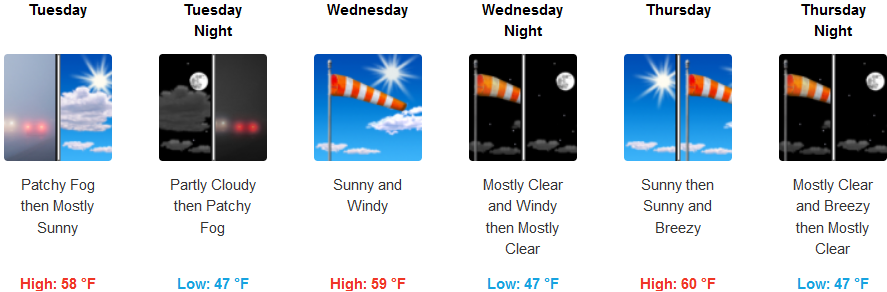
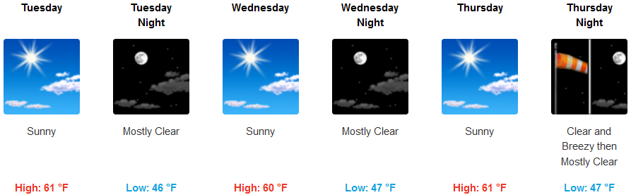
Along the coast, early morning fog is forecast before breaking to mostly sunny skies in the afternoon. A slight wind ranging in the 5-mph area is expected to get stronger by mid-week, with gusts getting into the upper 20’s by mid-week. Morning lows will be in the mid to upper 40’s while afternoon high’s only get to the mid- 60’s.
Brookings:
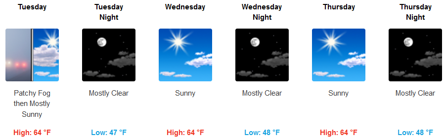
Crescent City:
Gold Beach:
Cave Junction:

Grants Pass:
Medford: